
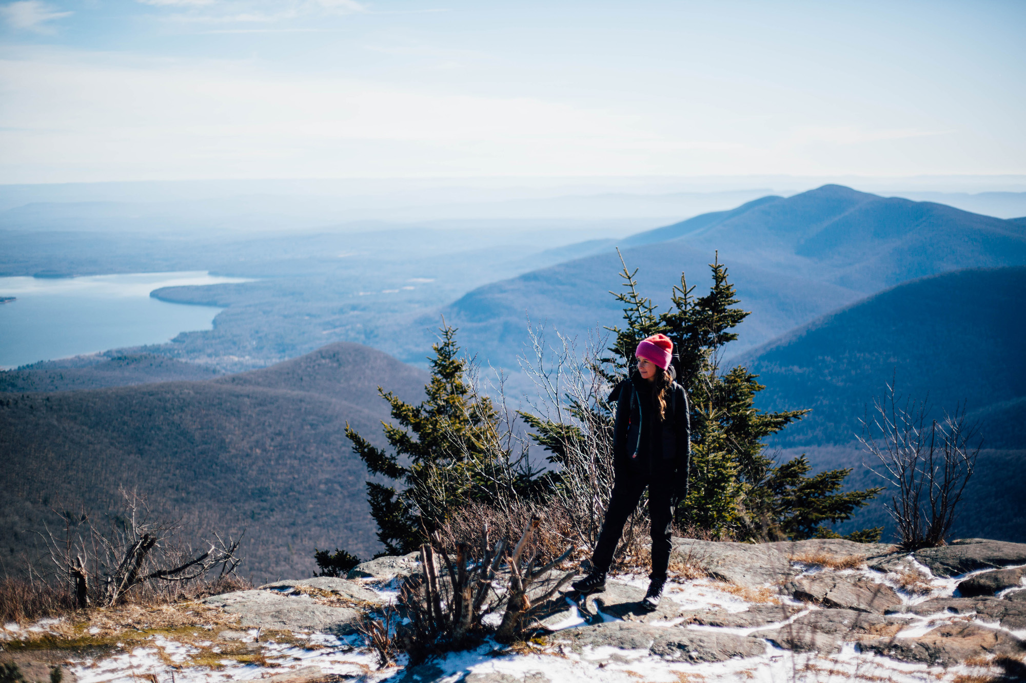
B Enjoying the Views from Wittenberg
After getting off to a super snowy start, this winter has mellowed out considerably over the past several weeks. Apparently it’s not just the Catskills. I read today in Gothamist that we are in the fourth longest period in history (since they started keeping track) with no measurable snow in NYC. Not good for skiing, but not terrible for hiking, assuming that one chooses to ignore the potential future implications as they relate to the global climate. Or maybe it is just La Nina? But hey, it was a 3 day weekend, the weather was unseasonably warm and we took advantage by going on a very long hike!
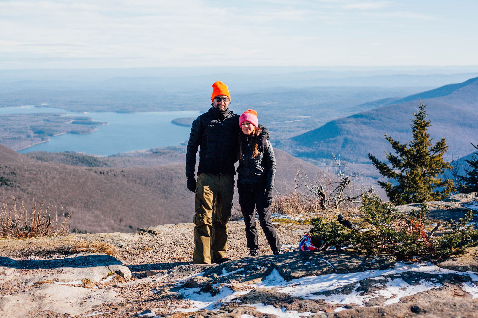
B and I hiked to two of the highest peaks in the Catskills, called Wittenberg and Cornell respectively. The trail starts just outside of Phoenicia in Woodland Valley Campground. In addition to being relatively warm, it was a beautiful clear sunny day. The hike took us a little over six hours round trip. It would have been about an hour shorter if it weren’t for a mishap of mine. The view from the Wittenberg peak is pretty amazing. Most of the Ashokan reservoir is visible on clear days. I could not resist trying to get a drone shot of us standing on the precipice. I could hear the wind howling over the tops of the trees behind us, but I did not realize until B told me later that based on the mountain report it was gusting at speeds over 50mph. To be fair, we could not feel it at all, standing on the Eastern facing ledge. Ignoring B’s admonition, I launched the drone and watched it immediately drift uncontrollably downwind. I was able to land it a few miles away in a turnout on a small canyon road behind a couple of parked cars. Alas, 4 hours later when we finished the hike and drove around to the other side of the mountain to retrieve it, the cars were gone and so was the drone.
I know that drones can be divisive, especially among those who come to the outdoors to distance themselves from that type of nonsene. To be completely honest, I personally have mixed feeling about them as well. Taking into consideration that many people have a dim view of drones, I typically will not fly it if there is anyone else around, and try to be super respectful of people’s private property. So, even though B was nice enough to call the local cops in case someone decides to turn it in, I don’t have high hopes of recovering it.
As for the hike itself, well, it was fairly challenging (for me, maybe not for B). It was roughly 10 miles round trip. According to my Garmin, we gained over 3200 feet of elevation. There were several instances that required some light scrambling. In fact, the ascent to Cornell Peak requires one to shimmy up a small crag, dubbed the “Cornell Crack”. Thankfully B put up with all of my Phil McKraken jokes, after we had both successfully navigated the crag. Anyway, here are some shots that I snapped with the knock-around rig–
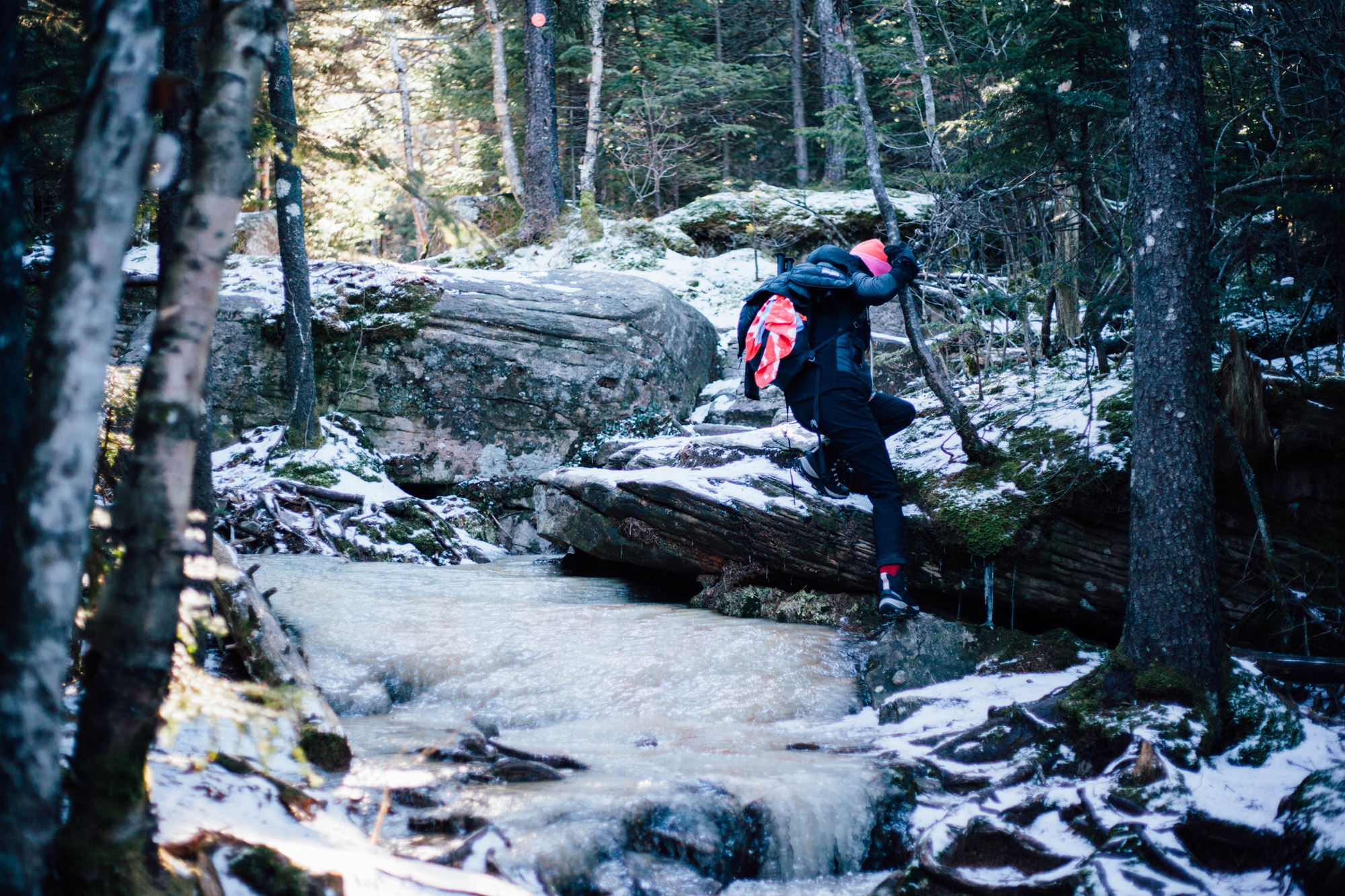
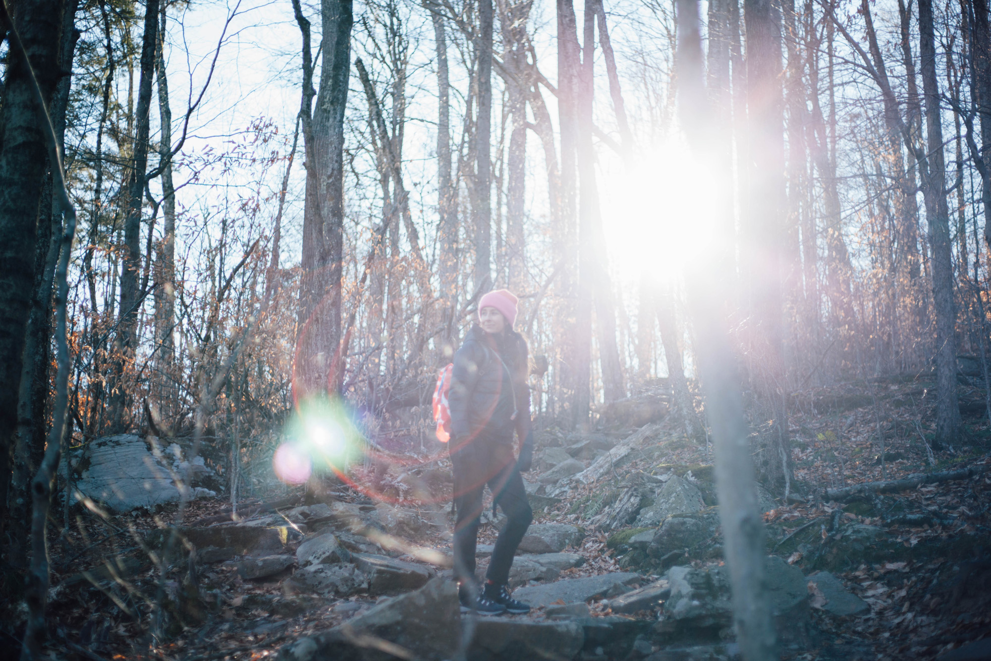
Despite the Lack of Significant Snow Accumulation, There was Plenty of Ice to Navigate
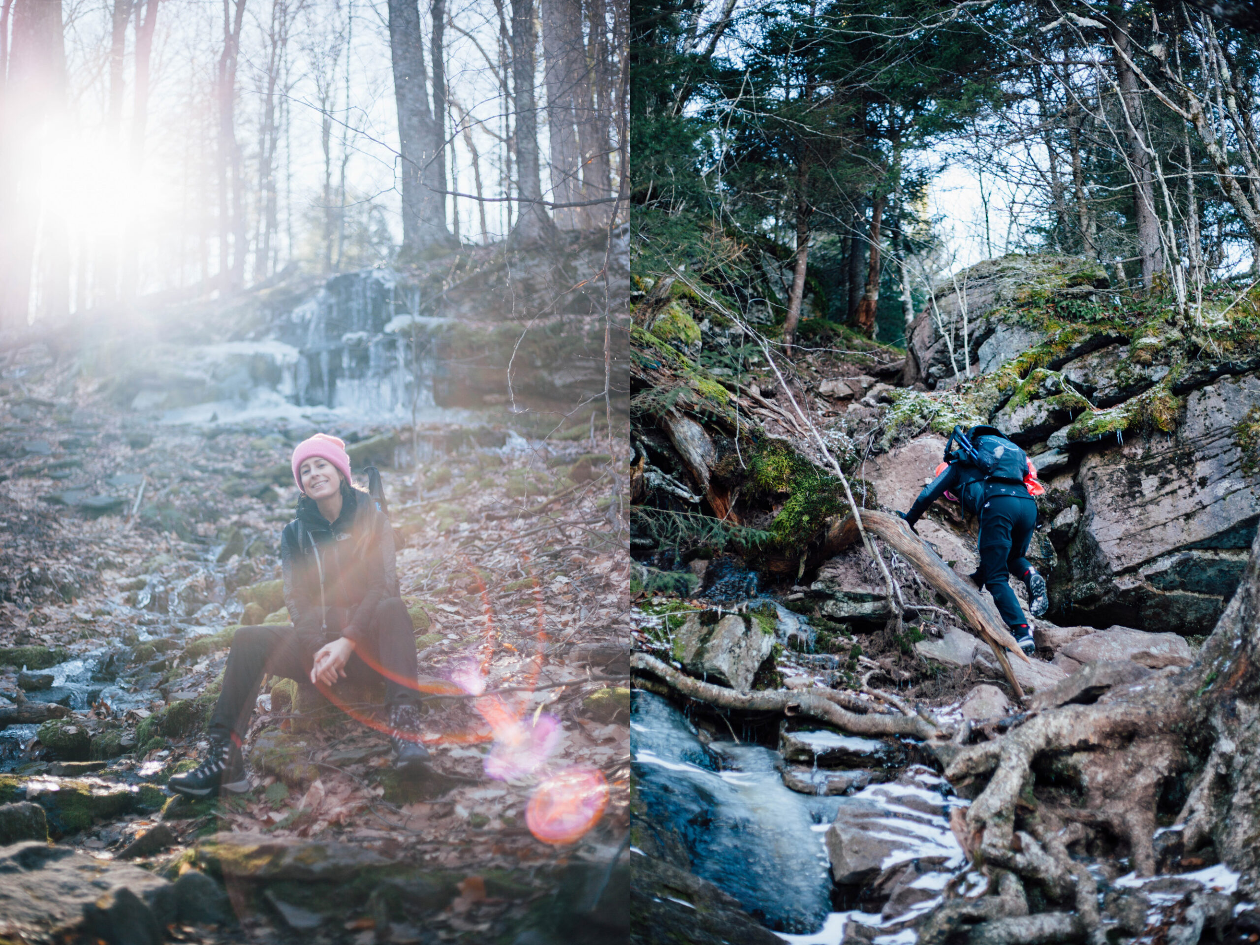
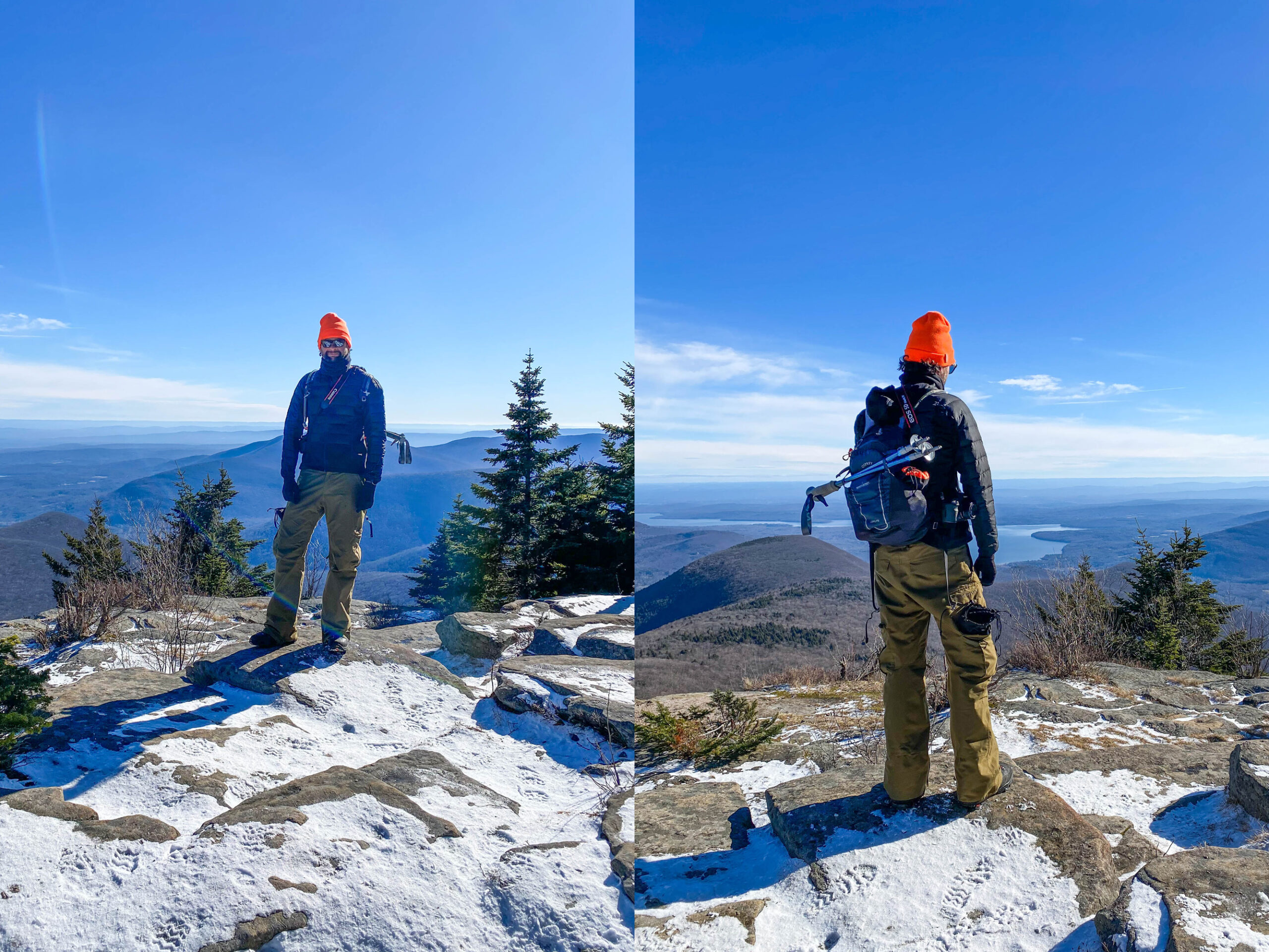
Composite Image Showing Front, then Back of the Author, Courtesy of the B Maschal Private Collection
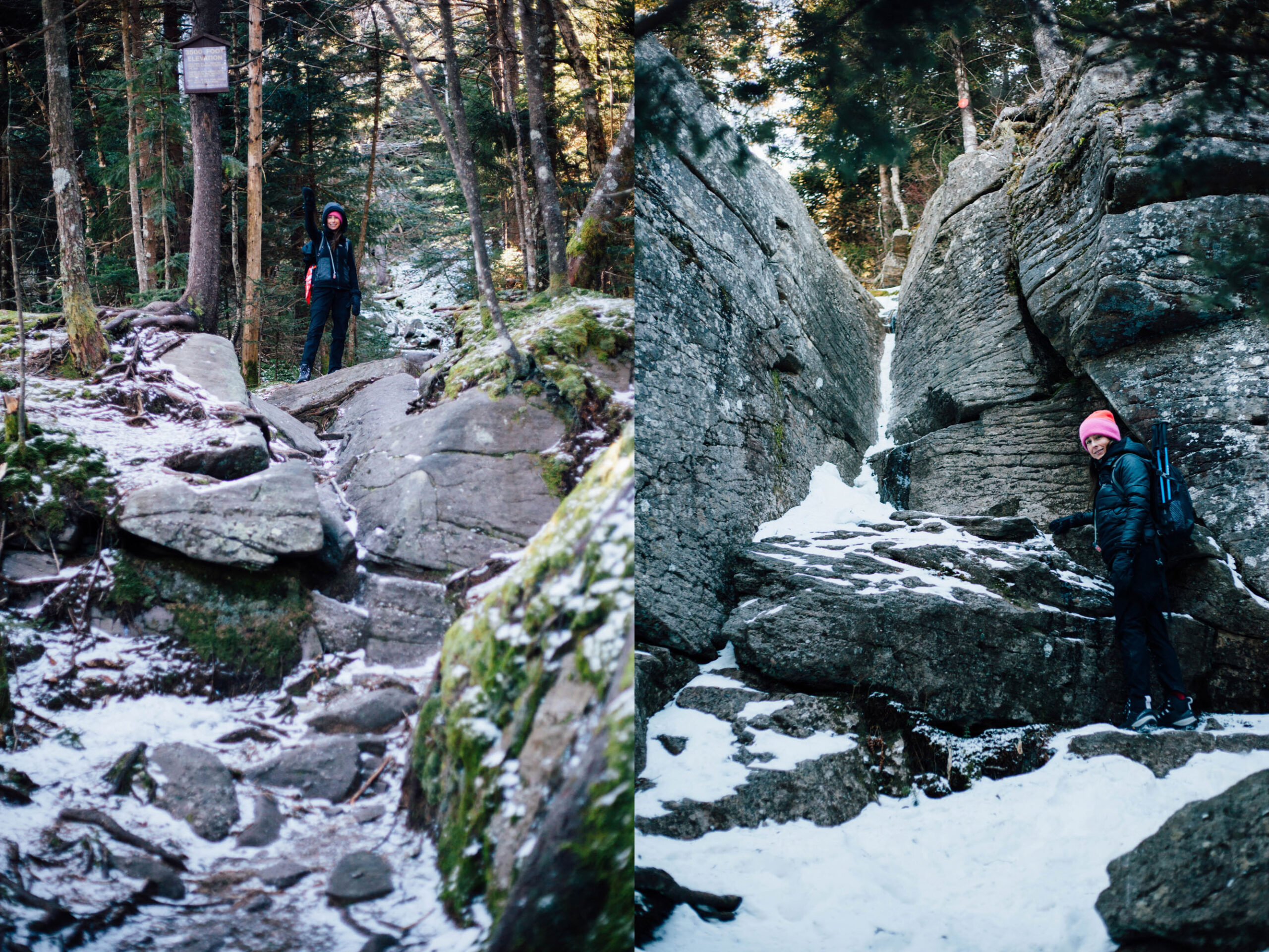
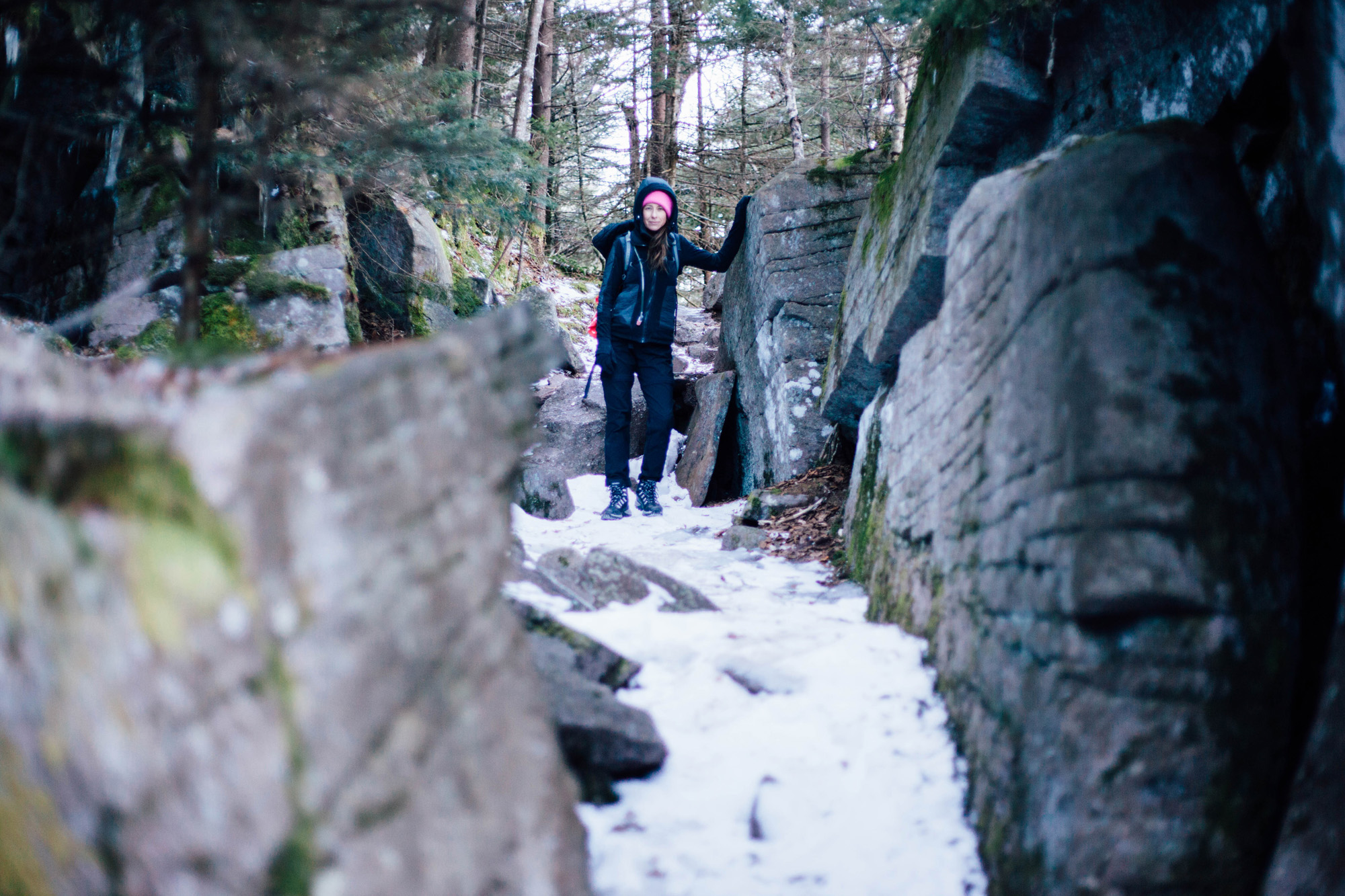
Left: Arriving at 3500′ of Elevation | Right: the Famous “Cornell Crack”
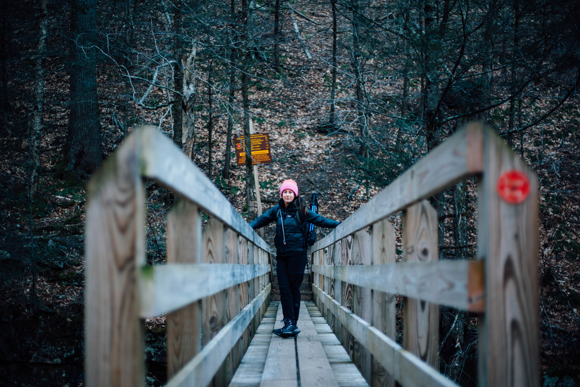
Not Bad for a Timer Shot!